Industries
Mining and minerals
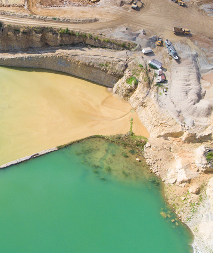
Geospatial Information System is the right tool to identify the mineral potential under the ground.
RNK develops data related to mineral exploration potential using GIS and surveys. These developments include preparation of different physiological, geographical layers, extensive surveying and then assigning weights, putting in model and finally preparing mineral potential zones.