Services
Digital Photogrammetry Services

Photogrammetry is derived from a Greek word ‘Photo’, ‘Gram’, ‘Metry’ which means light, drawing and measurement. RNK provides world class efficient photogrammetry services that include:
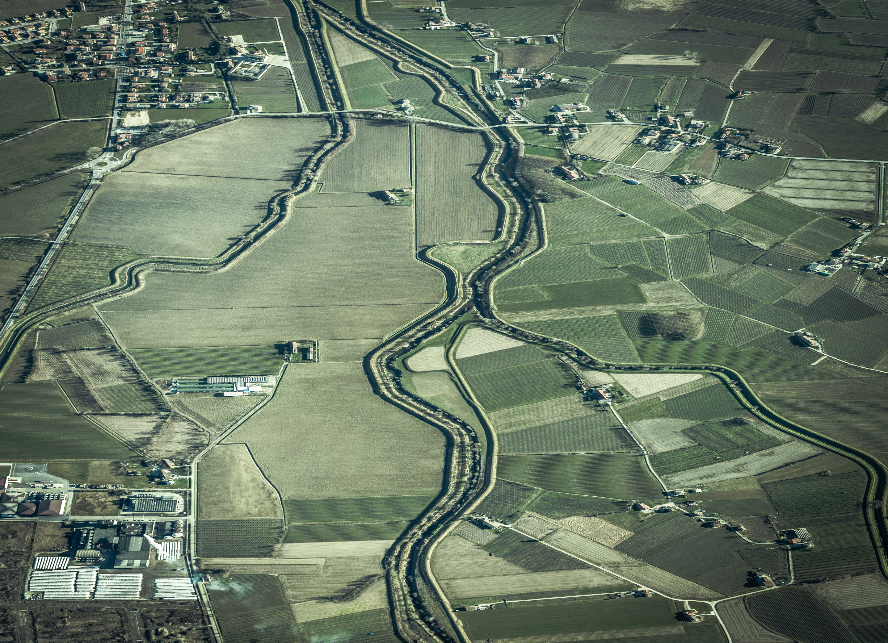
Through our photogrammetry services we provide maps generated with a high level of precision and spatial data. These photogrammetry maps support in urban, operation and financial planning. We cater to diverse client requirements, be it local, national or private agencies, we deliver accurate services exactly as per the requirements leveraging our expertise in handling multiple yet distinctive projects.
Our services provide hands on experience of the layout before actually reaching at the location, for example municipal authorities can actually have a visual layout of feature layers such as roads, trees, water bodies and entire layout of the area before sending the teams for field work.

